Aqueduct Tools
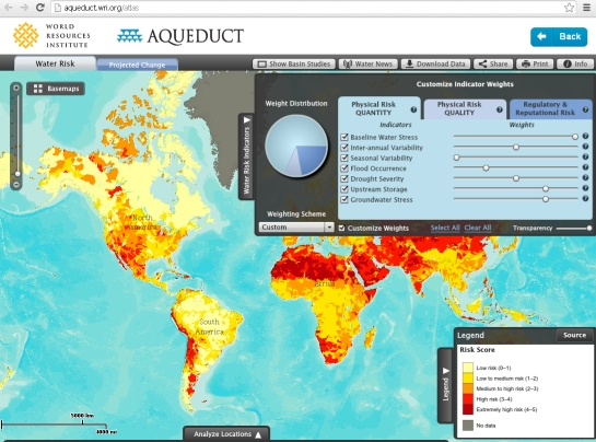
Aqueduct's tools can help you to better identify, understand, and respond to water risks. Their tools use open-source, peer-reviewed data to map water risks such as floods, droughts, and stress.
Aqueduct's tools include the Aqueduct Water Risk Atlas, which maps and analyses current and future water risks across locations; Aqueduct Country Rankings, which can help you to compare national and subnational water risks; Aqueduct Food, which identifies current and future water risks to agriculture and food security; and Aqueduct Floods, which identifies coastal and river flood risks and analyses the costs and benefits of investing in flood protection.
Share this Resource on:LinkedIn